Future-proofed for flooding
Published on 24 November 2016

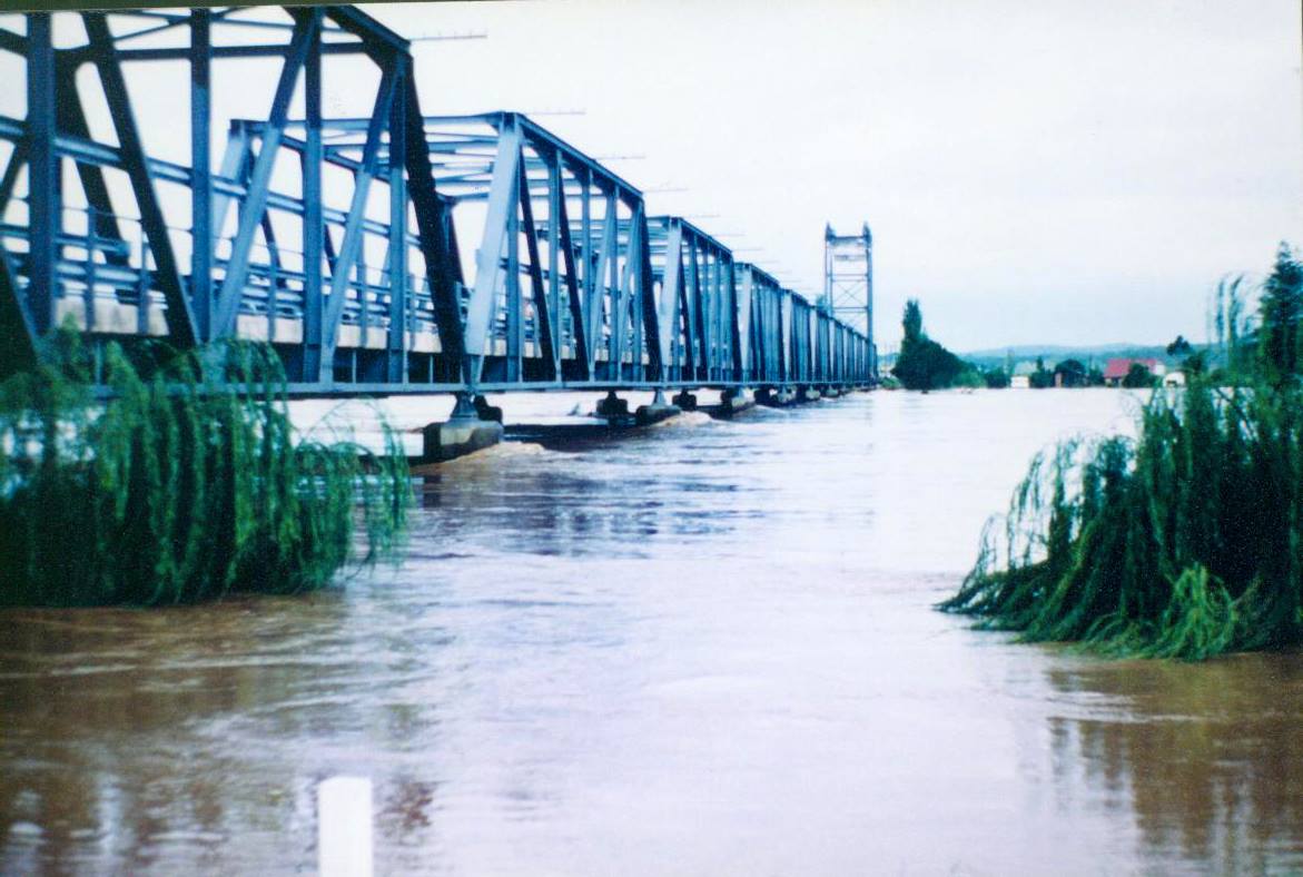
With the updated Manning River Flood Study being adopted in this week’s MidCoast Council meeting, planning controls will be amended for consistency and will soon be available for community feedback.
The flood study focused on the area comprising the lower floodplain of the Manning River from downstream of Wingham to the coast, including Tinonee, Taree, Cundletown, Harrington, Manning Point and adjacent rural and semi-rural areas. Undertaken in the second half of last year by specialist contractor, BMT WBM, it incorporated valuable input from locals who shared their past experiences of flooding in the region.
Ron Hartley, Director Engineering and Infrastructure, explains “The last study was done 25 years ago, so with new-age technology and by factoring in climate change and sea level rise we’re now far more confident in the findings that will ultimately help us make informed decisions when it comes to living and working in flood prone areas”.
The updated Flood Study considers the increase in rainfall due to climate change and sea level rise predictions through to the year 2100. Findings include the flood level upstream of Dumaresq Island remaining consistent with the previous level, and a higher flood level on the lower coastal plains where rising sea levels have an impact.
“As MidCoast Council we’ve also been able to draw on experiences in floodplain management from all three former council areas, which along with the study findings will ensure we are well prepared in mitigating risk and managing emergency response during flood events”, Ron added.
As a result of the updated study, around 1,100 additional properties will fall within the new flood planning level, requiring specific consideration for any new developments to be undertaken in the future. The Development Control Plan (DCP) for the Manning region, which guides applicants in the preparation of development applications, is being updated to ensure the controls for flooding are consistent with the current flood study. Changes to the DCP will be available for review from 30 November on the ‘Have your Say’ section of the MidCoast Council website where you can also provide feedback. Hard copies can also be viewed at Taree library, and at MidCoast Council’s Taree and Forster offices.
The draft DCP is on public exhibition from Wednesday 30 November 2016, through to 4.30pm on Friday 20 January 2017.